

0.0 out of 5





 Direction
 167
167 Check In
 View Map
 Claim it
 Suggest edit
 Report
Tiller in Mirpur 6, Mirpur Model
Tiller is a Leading Specialised Firm Providing Cutting-edge Solutions in Geographic Information Systems (GIS)
Located in the tech-savvy landscape of Mirpur 6, Tiller is a leading specialized firm providing cutting-edge solutions in Geographic Information Systems (GIS), high-precision land surveying, and custom software development. With a reputation for technical excellence, Tiller bridges the gap between physical terrain and digital intelligence for government and private sectors. As a premier mapping and survey office, Tiller utilizes advanced GNSS/RTK technology and UAV/Drone mapping to deliver millimeter-accurate spatial data. Their software division complements this by building robust ERP systems and location-based applications, making them a one-stop hub for data-driven infrastructure planning in Bangladesh. Key Services & Expertise: Engineering Surveying: High-precision Topographical, Hydrographic, and Cadastral surveys for urban planning and construction. GIS & Remote Sensing: Advanced spatial data analysis, satellite imagery processing, and digital mapping solutions. Custom Software Development: Development of enterprise-grade software, mobile apps, and web platforms tailored to business workflows. Digital Elevation Models (DEM): Creation of 3D terrain models and contour mapping for environmental and civil engineering projects. Consultancy: Expert technical advice on land management and digital transformation strategies. Office Information: Location: House-16, Road-1, Block-B, Section-6, Mirpur, Dhaka-1216. Phone: +880 1717-380380 | +880 1977-380380. Website: www.tillerbd.com
Our Services
- Data Entry
- IT Services
- Software Development
Amenities/Facilities
 Air Conditioning
 Bike Parking
 CCTV
CCTV Elevators
 Fire Safety Equipment
 Online Scheduling
 Street Parking
 TV
TV Waiting Room
 Wi-Fi
Wi-Fi
Hours of Operation
9:00 AM
to
6:00 PM
9:00 AM
to
6:00 PM
9:00 AM
to
6:00 PM
9:00 AM
to
6:00 PM
9:00 AM
to
6:00 PM
9:00 AM
to
6:00 PM
Closed
Payment Method
 Cash
Cash Master Card
 Visa
Visa



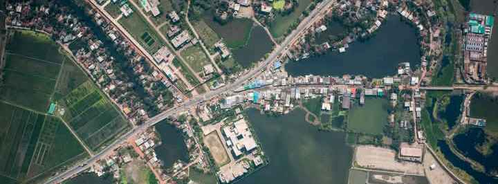
Location Map